
The University now has access to Aerial Digimap a new collection from the Digimap suite of GIS services.
The aerial imagery data in the service is 25cm resolution vertical aerial imagery supplied by Getmapping PLC, and is the most detailed aerial imagery available for the whole of Great Britain.
You can access all the Digimap services available to you via the University of Exeter subscriptions through the Maps section of the Electronic library. You will need to register before using the Digimap services, by completing a short online registration form.
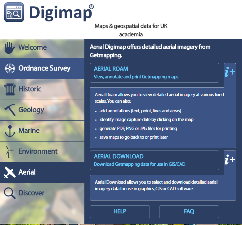
Aerial Digimap offers mapping and downloading facilities:
Aerial Roam offers the ability to view, annotate and print the aerial photographs as well as an overlay function to allow comparison with current Ordnance Survey mapping.
Aerial Download offers the ability to select specific locations for which to download the aerial photography for use in local desktop software
For an introduction to this service, take a look at the preview demonstration on Digimap’s YouTube channel: https://youtu.be/rAiO4XXRD5Q. Online help is also available.