Unmanned aerial systems to support flood planning and management

Funders: GCRF
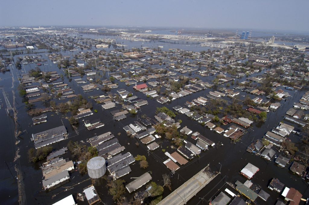
Some 5 million people live in flood risk areas in England and Wales, with one in six homes at risk of flooding. In India, similar risks are present: over 40 million hectares (12% of India's land mass) are prone to flooding and river erosion. In this century, the economic losses resulting from damage caused by flooding far outweigh the costs associated with other natural disasters ($21bn in losses from 27 instances in the UK, and $39bn in losses from 128 instances in India). Furthermore, both the frequency and intensity of pluvial and fluvial flooding is expected to increase over time due to climate change - increasing flood risk, financial loss and (human) fatalities. The UK has well-developed emergency planning processes and procedures, and yet there have been a number of recent cases of flooding where the emergency evacuation process has been stretched to its limits and beyond (e.g. Cockermouth and Carlisle). Earlier this year, the Indian Parliament put forward a national action plan under the Disaster Management Act with the aim of substantially decreasing the loss of life, livelihoods and assets, by improving the country's response to disasters. The plan highlights the urgent need for improved (predictive) warning, risk and threat identification and policy assessment, evacuation planning, data collection, information dissemination, cooperation and effective management of the relief operation. At the heart of the management of these issues is developing a good knowledge of the underlying communities and their infrastructure and the state of these endangered systems at critical times, particularly during the onset and development of the flooding event. The deployment and management of unmanned aerial systems (either vertical take-off and landing quad-rotors or small fixed wing aircraft) and of their data product coupled with advanced model prediction capabilities would seem to be a challenging but promising way of supporting emergency planning and management and testing the predicted and actual effects of policy decisions.
The project focuses on using instrumented unmanned aerial systems (UASs) to collect and collate pertinent information about an unfolding flooding disaster. The relative ease with which UASs can be deployed (often hand launched) to assess damage across large areas provides emergency responders with the opportunity to assess the situation quickly, allowing the prioritisation of resources and their effective deployment where they are required. One aspect of the research will focus on addressing the challenges associated with flying UASs in such (non-ideal) situations: for example maintaining performance during adverse weather conditions, during intermittent loss of communication with the base station, overcoming the loss of operator visuals, providing the ability to recover the vehicle without a runway and avoiding potential collisions with unexpected obstacles within the flight domain.

